Beta · Expect some rough edges
Your trails.In your pocket.Off the grid.
The wanderer app is now in public beta for iOS and Android.
iOS 15+ · Android 8.0+ · Works with instances on v0.21.0-app or newer
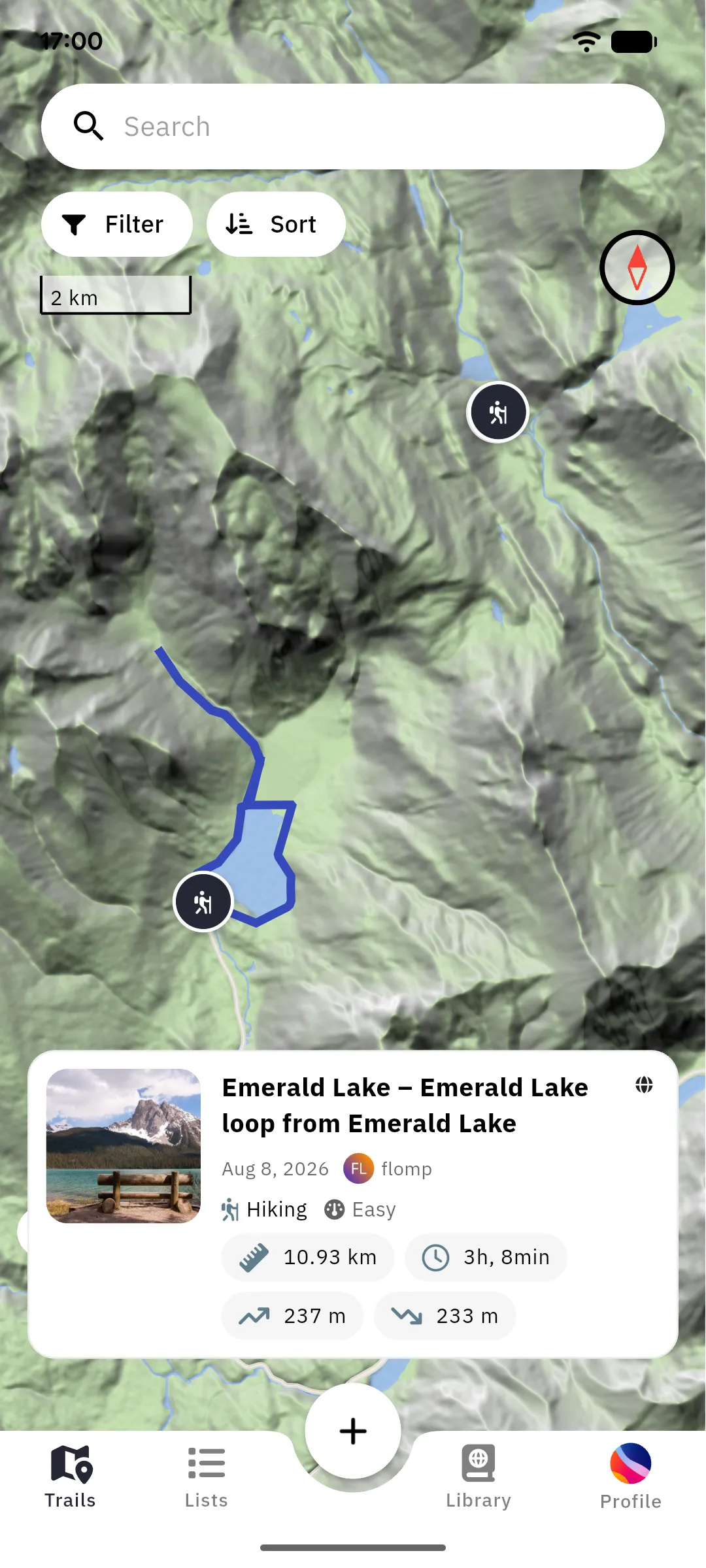
The wanderer app is now in public beta for iOS and Android.
iOS 15+ · Android 8.0+ · Works with instances on v0.21.0-app or newer
Public beta
Pick your platform. You also need an account on a wanderer instance running v0.21.0-app or newer: yours, your club's, or a public one. Running an instance? See what it needs.
iOS 15 or newer
Beta builds expire after 90 days; TestFlight prompts you to update before that.
Join the beta onTestFlightAndroid 8.0 or newer
Leaving the test stops updates but keeps the app installed.
Join the open test onGoogle PlayAndroid 8.0 or newer
APK installs do not update themselves. Come back here for each new release.
Download the APK fromGitHub ReleasesTell us on GitHub. The template asks for your device, the app build and the instance version. That's usually all we need.
Report an app bugKM 0.00 · Trailhead
Choose which instance to connect to: yours, your club's, or a public one. No central service sits in between. Log in, or register straight from the app.
Getting startedKM 0.80 · ↑ 12 M · ONLINE
Search across trails, places, lists and people, including users on instances yours federates with. Filter by category, difficulty, distance or elevation until the right trail turns up.
Find trails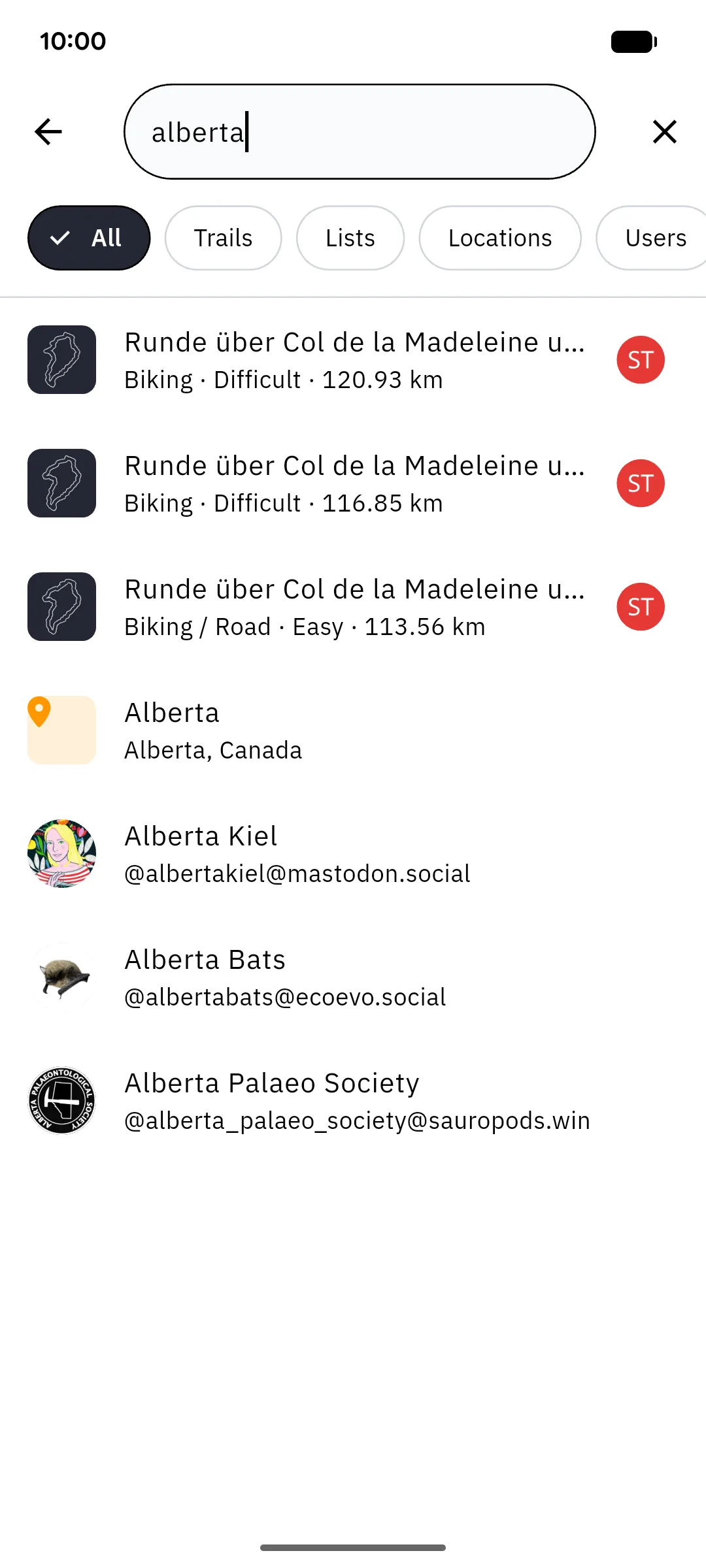
KM 1.70 · ↑ 31 M · ONLINE
Tap the map to drop anchors and the routing service connects them along paths that suit your needs: hiking, or one of four biking profiles.
Plan a route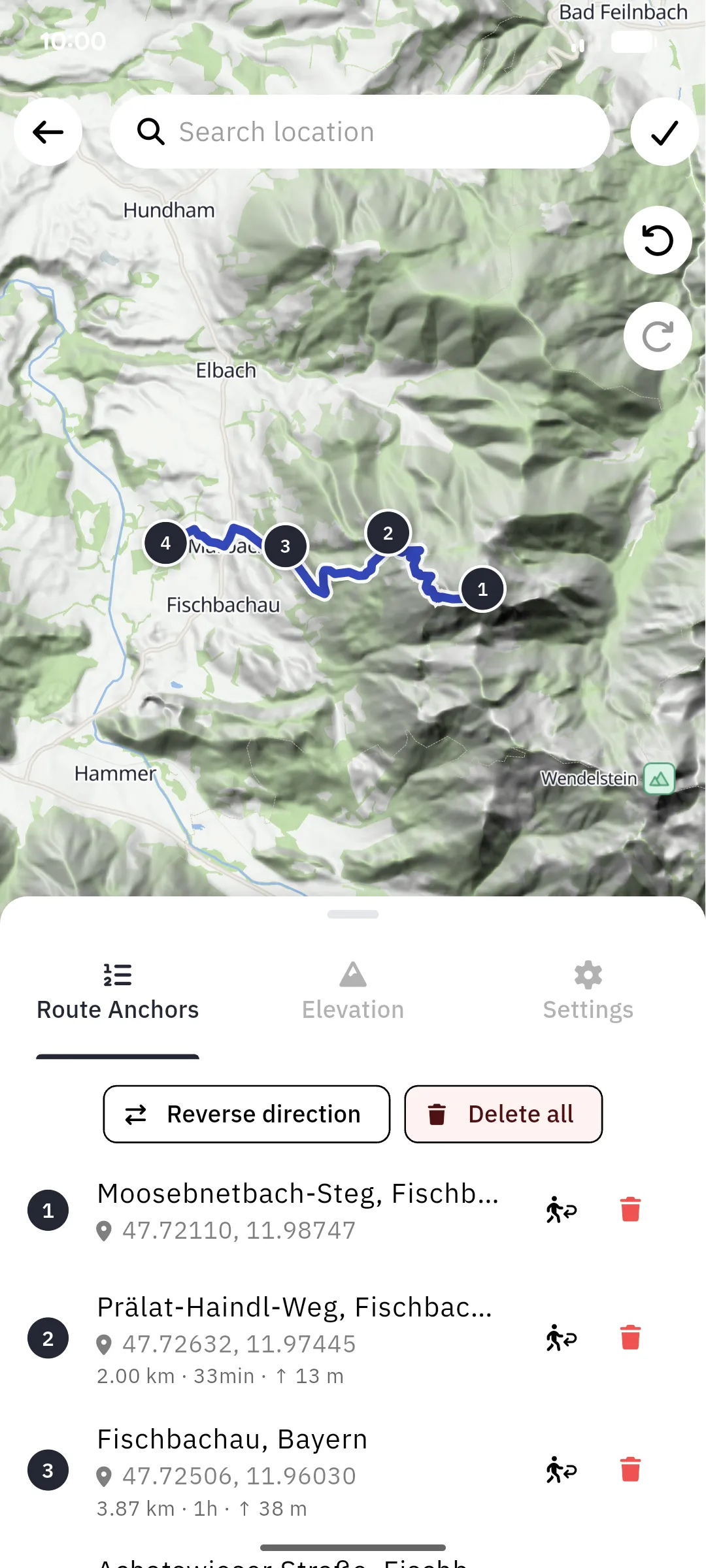
KM 2.60 · ↑ 52 M · ONLINE
Hit record and the app tracks your position with live distance, gain, speed and moving time. It keeps running in the background and needs no network at all.
Record a trail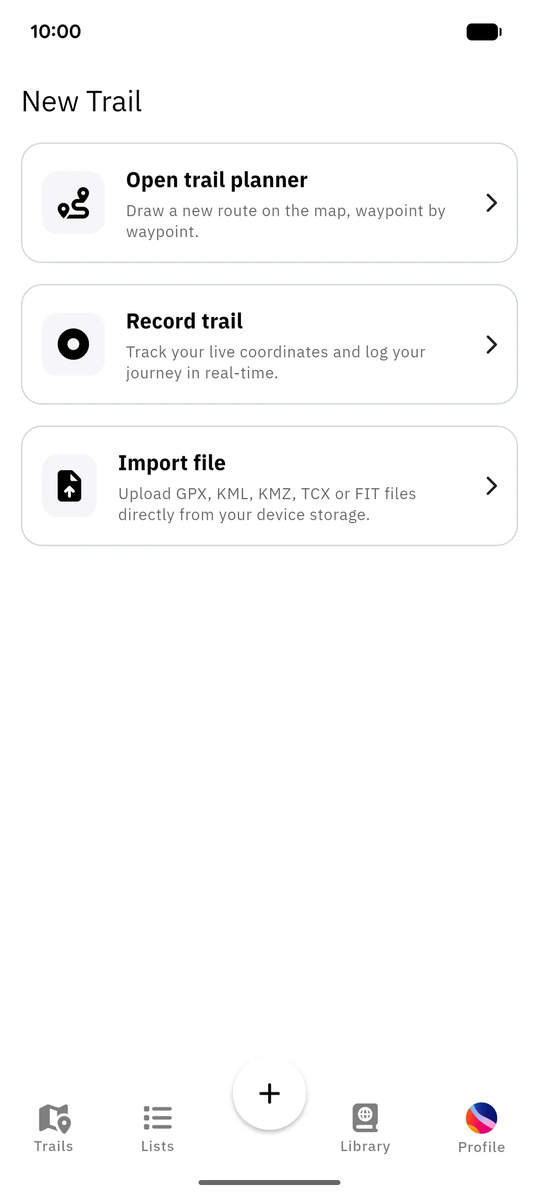
KM 3.60 · ↑ 78 M · ONLINE
Read up before you commit: the elevation profile shows exactly what climb is ahead, waypoints flag what's coming and where, and the summit book holds reports from everyone who has already made the trip. A comment about a washed-out bridge is worth more than any stat block.
Trail details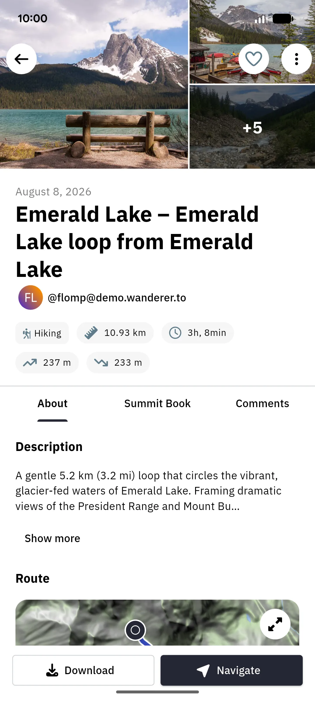
KM 4.35 · ↑ 99 M · 1 BAR
No network? No problem. Download the map at home and be prepared for every surprise.
Offline use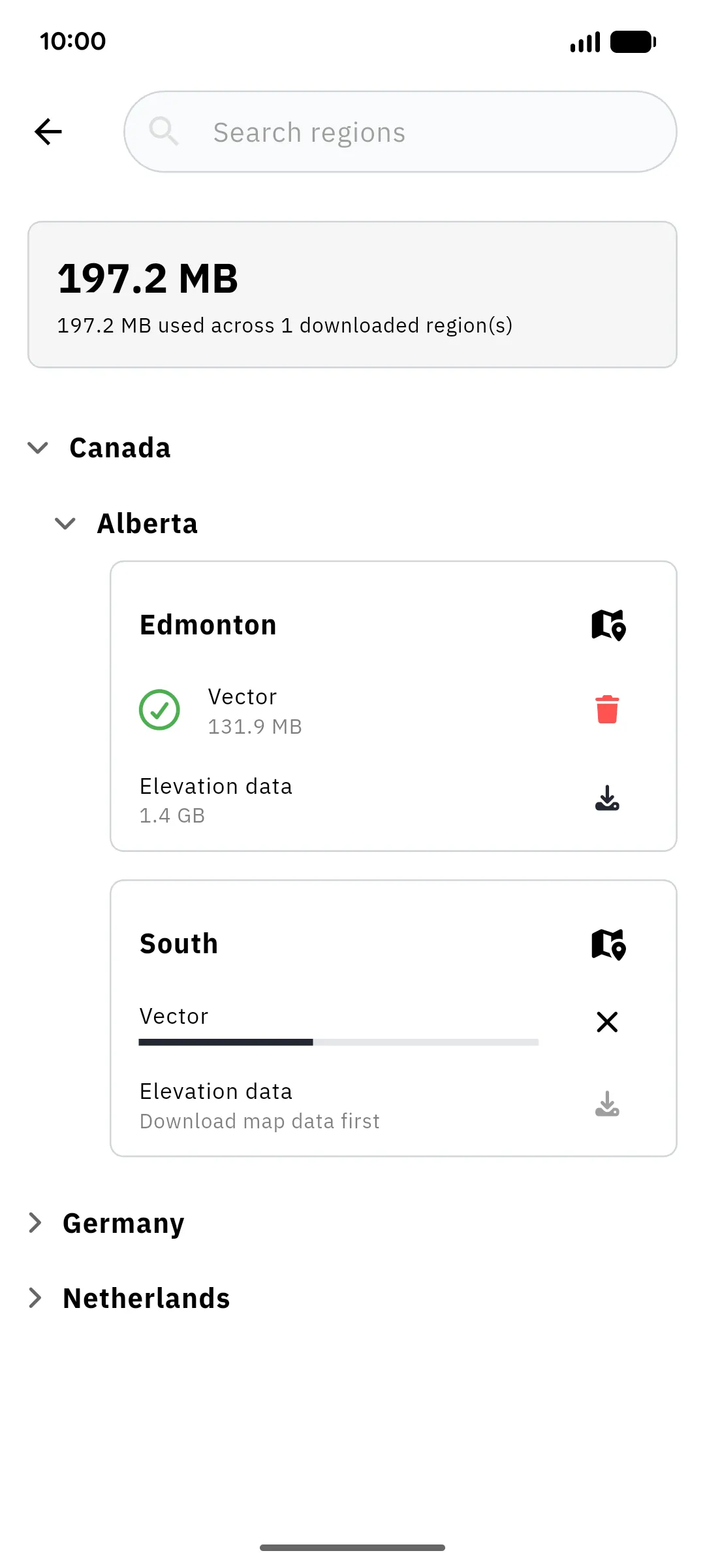
KM 5.10 · ↑ 121 M · NO SIGNAL
Get precise turn by turn navigation instructions. Your route is recorded at the same time so you can simply save it once you are done. And all of this works even if you are offline.
Navigate a trail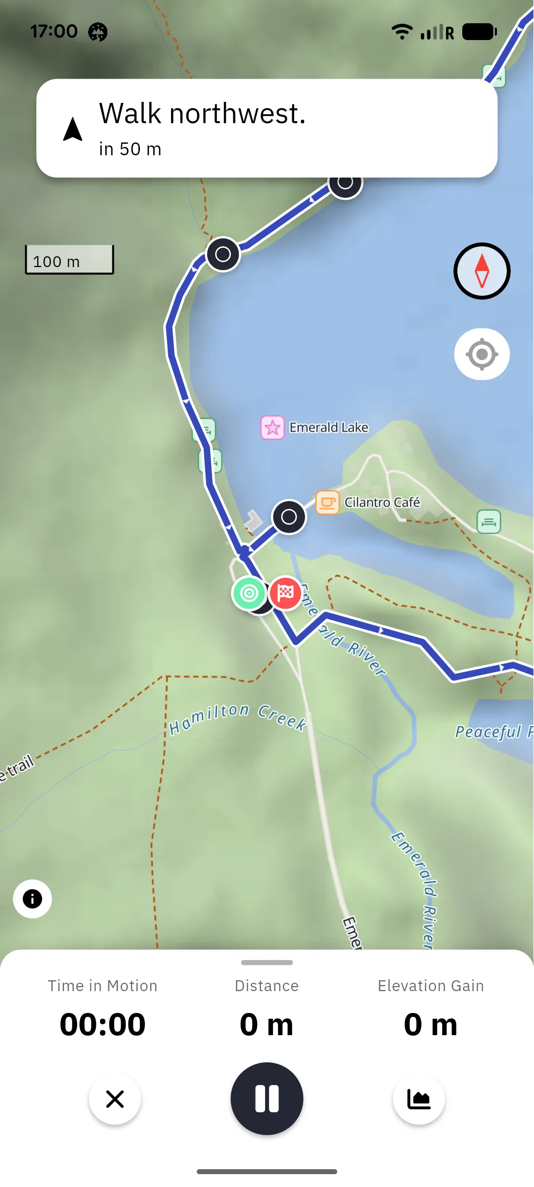
KM 9.10 · ↑ 221 M · SYNCED
The moment your instance is reachable again, the recording uploads on its own: no action needed. Open your profile and it sits in your trails with everything else you've walked, recorded, or planned.
Profile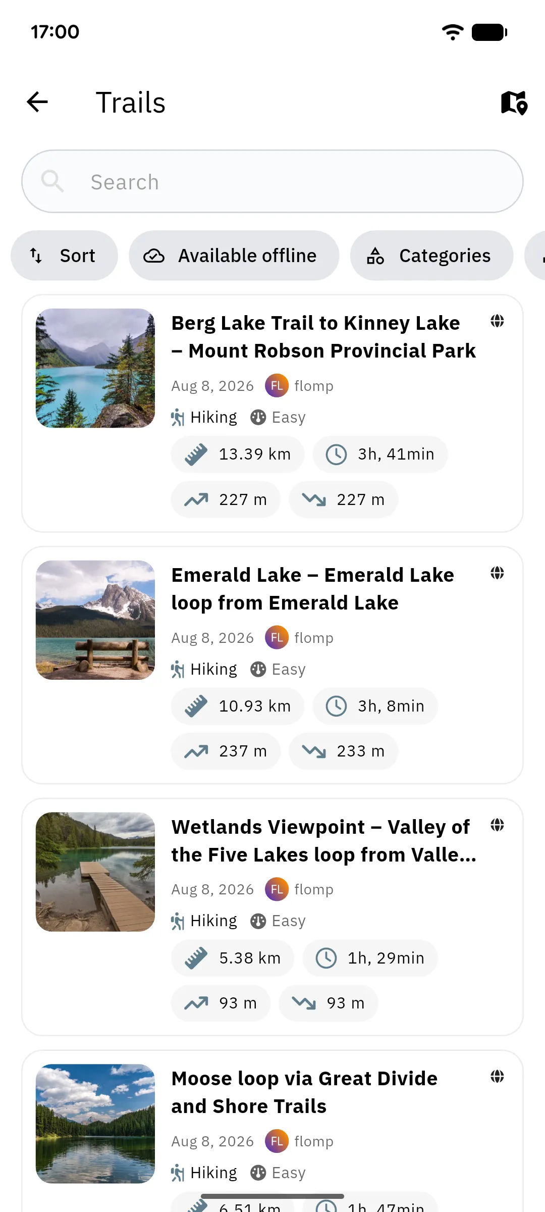
KM 10.93 · ↑ 237 M · Trip complete
Search, plan, record and navigate trails, online or off. It connects to any wanderer instance, including one you run yourself. Free, open source, no subscription.
Read the app documentation