

Find trails
The map
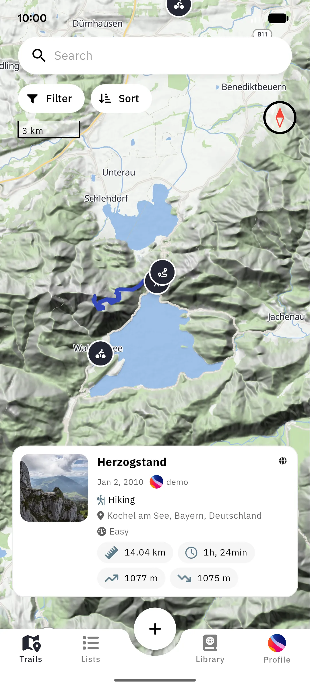
Section titled “The map”The Trails tab shows an interactive map of your surroundings. Trails are displayed as markers, automatically grouped into numbered clusters when many trails are close together. Tap a cluster to zoom in, tap a marker to select the trail. The selected trail’s route is drawn on the map and a preview card shows its key stats; tap the card to open the full trail details, or swipe it down to deselect.
Pan or zoom to a new area and tap Search this area to load the trails there. The crosshair button centers the map on your position.
The panel at the bottom holds the same trails as a list. Drag it up to browse them, and tap Map to collapse it again.
Browsing trails needs a connection. Offline, the map shows only the trails stored on your device; see Offline use.
Search
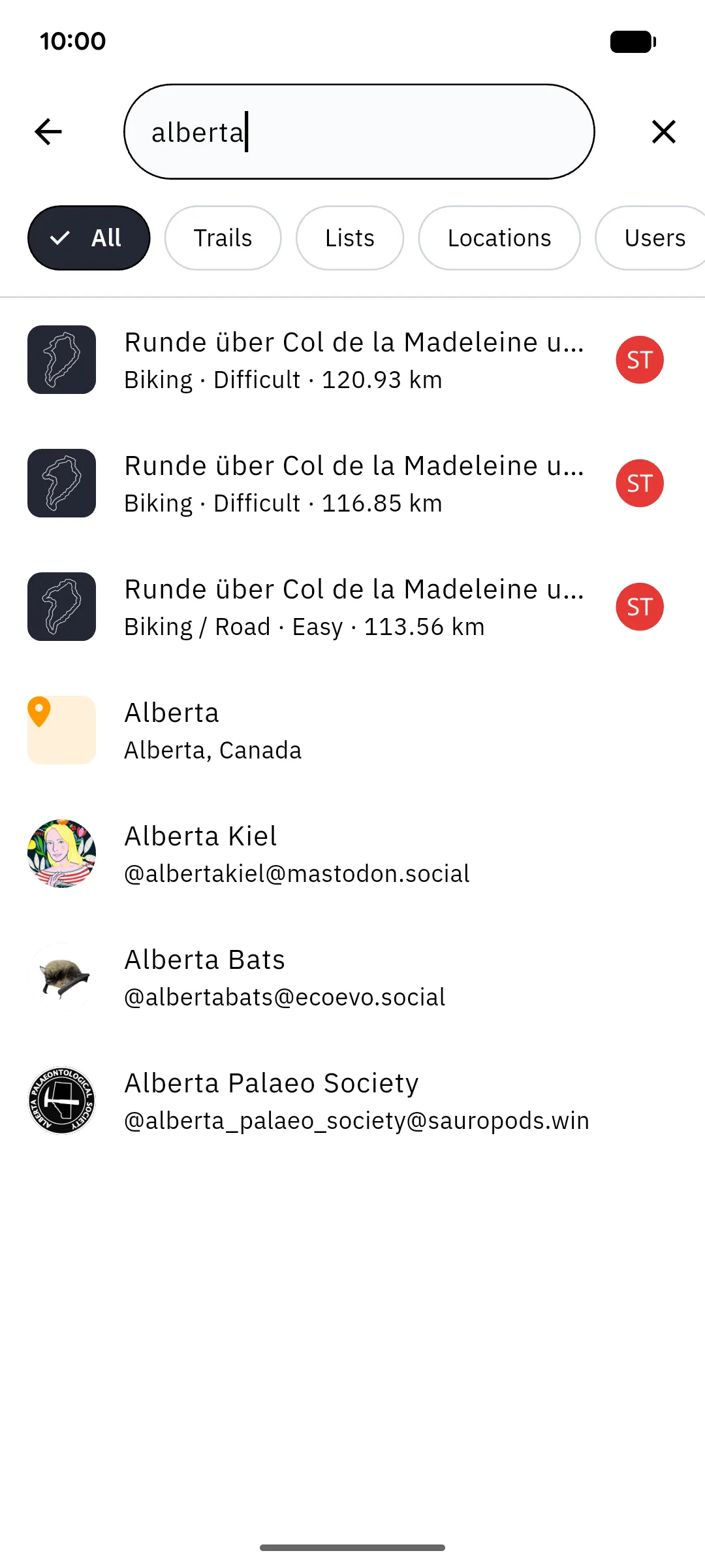
Section titled “Search”The search screen searches your instance for trails, lists, locations, and users, including users on other instances yours is connected to. Use the chips at the top (All, Trails, Lists, Locations, Users) to narrow the search to one result type, and tap a location result to jump the map to that place.
Filters
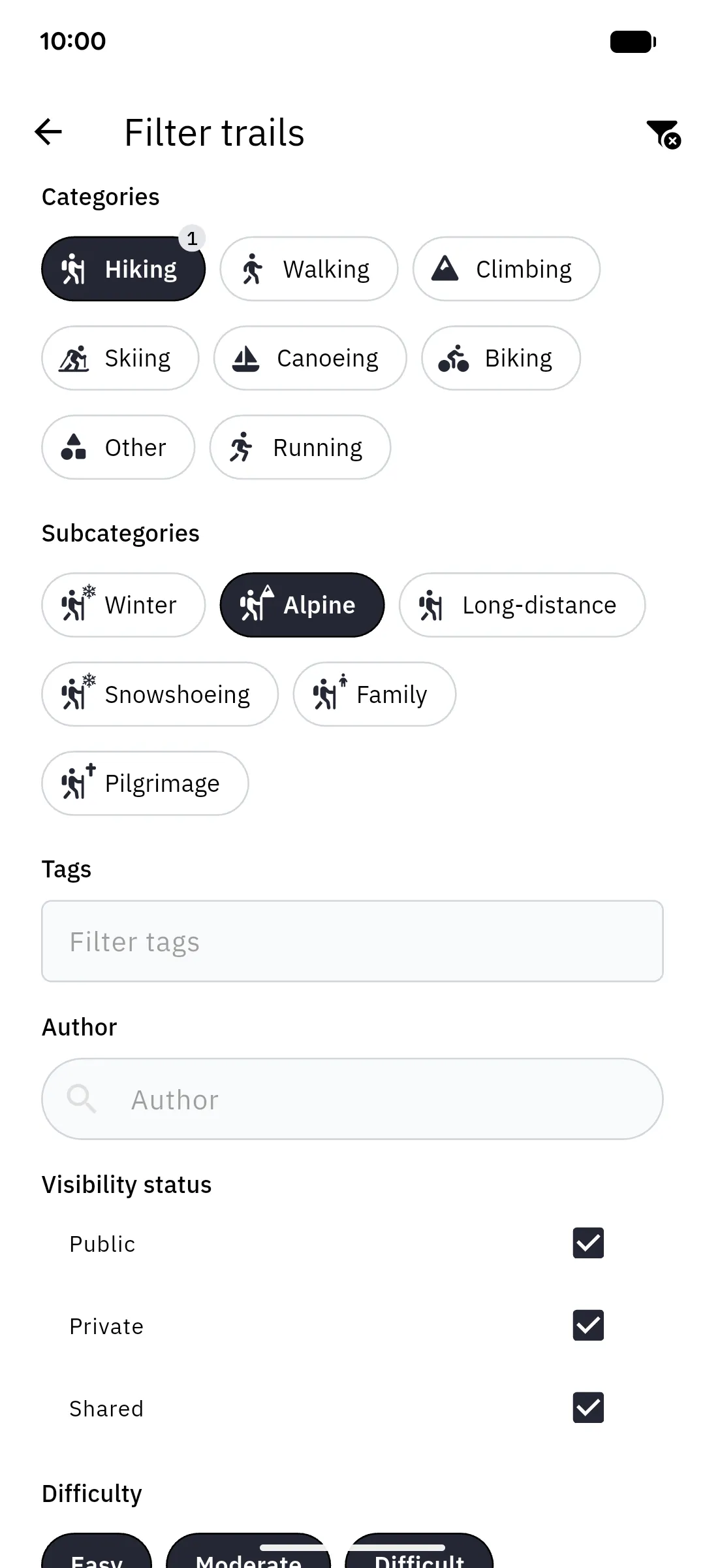
Section titled “Filters”The Filter button opens a full filter screen. You can restrict results by:
- Categories & subcategories (e.g. hiking, cycling)
- Tags
- Author
- Visibility: public, private, or trails other users shared with you
- Difficulty: easy, moderate, difficult
- Distance, elevation gain & loss: range sliders
- Before / After: a date range
- Like status: trails you liked
- Completion status: completed, not completed, or no preference
Active filters are shown as a badge on the Filter button; the icon in the top right of the filter screen clears them all at once. A quick-filter bar above the map gives one-tap access to category, difficulty, sort order, and Available offline, which shows only trails stored on your device.
Sorting
Section titled “Sorting”The Sort button orders results by name, creation date, date, difficulty, distance, duration, elevation gain, elevation loss, or likes, ascending or descending. Date is the day the trail was hiked; Creation date is when it was added to the instance.