

Trail details
Tapping a trail anywhere in the app opens its detail page.
Overview
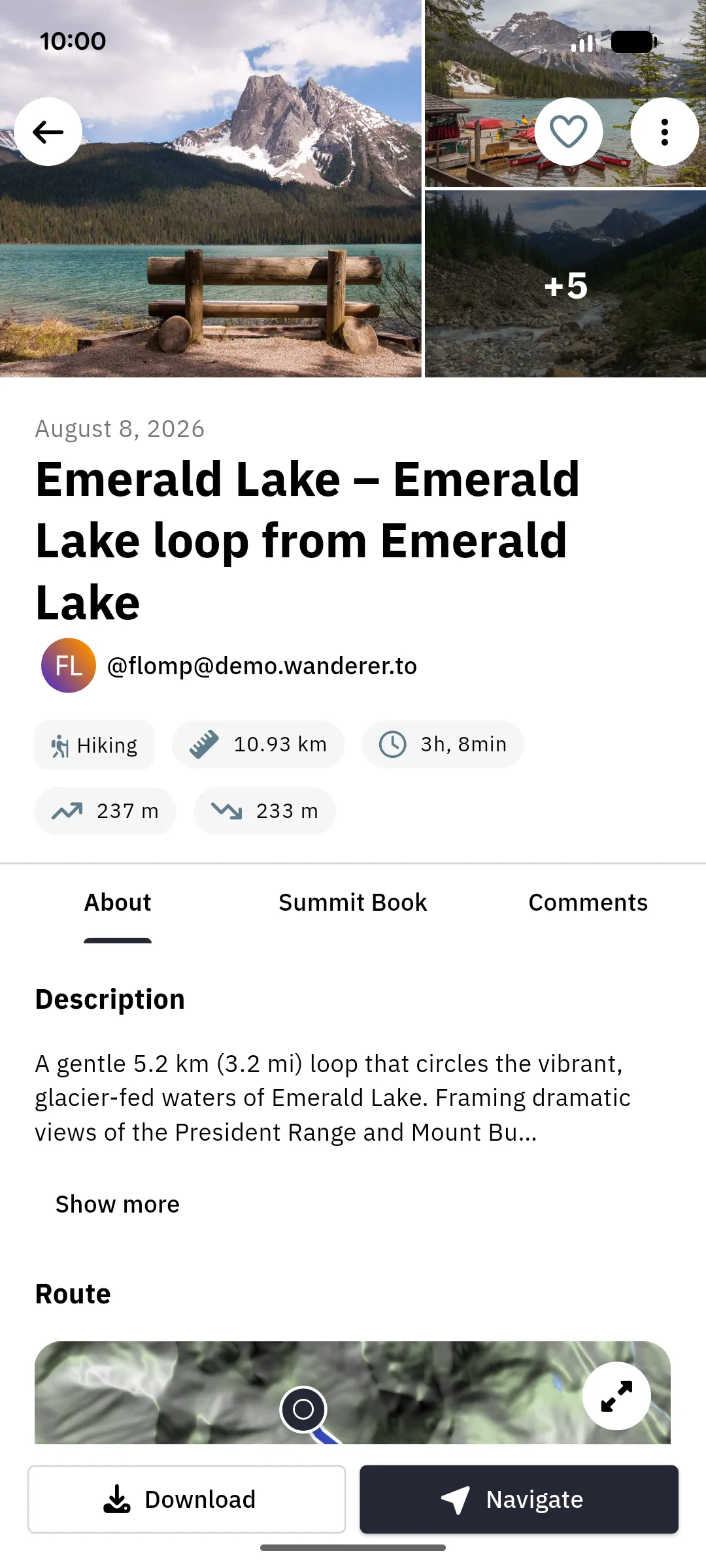
Section titled “Overview”At the top you’ll find the trail’s photos as a collage; tap one to open the full-screen gallery. Below that come the trail’s name, its author, and its key stats: category, distance, estimated duration, and elevation gain and loss.
The content itself is split into three tabs:
- About: the description, the route, and the trail’s waypoints
- Summit Book: who completed the trail and when, with their reports (called summit logs on the web)
- Comments: what others have written about this trail
In the beta you can read summit logs and comments in the app; to write one, open the trail on the web. See what works where.
Route, elevation & waypoints
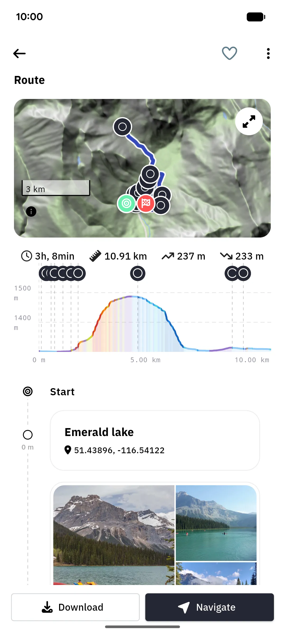
Section titled “Route, elevation & waypoints”The About tab shows the route on a map (tap the expand icon for a full-screen view), the elevation profile, and a timeline of the trail’s waypoints, each with its coordinates, description, and photos.
Actions
Section titled “Actions”- Navigate starts turn-by-turn navigation along the trail.
- Download stores the trail on your device for offline use. If parts of the trail lie in a map region you haven’t downloaded yet, the app offers to download those regions along with it.
- The heart icon at the top likes the trail (needs a connection).
- The three-dot menu holds the remaining actions: Show on map, Directions (asks which map app on your device should route you to the trailhead), Edit and Delete for your own trails, and Download, Update (re-download the device copy after the trail changed on your instance), or Remove for the device copy.
Edit and Delete work on the copy of the trail on your instance, so they need a connection. Removing a device copy never deletes the trail itself.
Trails on this device
Section titled “Trails on this device”If a trail is stored on your device, a sync status chip shows whether it is fully uploaded to your instance, Uploading…, Waiting to upload, or Upload failed · Tap to retry.
A trail you recorded or imported that hasn’t uploaded yet is a special case: its detail page only offers Edit until the upload has gone through. Navigate and Download appear once the trail is on your instance.