

Getting started
The wanderer mobile app brings your instance to Android and iOS: browse and search trails, record hikes with GPS, plan routes, navigate turn-by-turn, and take entire map regions offline.
Install the beta
Section titled “Install the beta”The app is in public beta. Head to the app page to install it: via TestFlight on iPhone and iPad, via the Google Play open test on Android, or as an APK download for Android phones without Google Play. You need iOS 15 or Android 8.0 or newer.
Not everything from the web interface is in the app yet. What works where lists what is, and where to do the rest.
Choose your instance
Section titled “Choose your instance”Unlike most outdoor apps, wanderer is not tied to one central service. On first launch the app asks which instance to connect to. That’s the server your account lives on. The screen shows a list of public instances to pick from; if yours isn’t listed (for example because you or your club run it), tap Use custom URL instead and type its address, such as wanderer.example.com. Your trails, lists, and profile all live on that instance.
Your instance needs to run a version of wanderer that supports the app. If you can log in but the map stays empty and most things fail, it doesn’t yet; ask your instance’s administrator to follow Mobile app support.
Log in or register
Section titled “Log in or register”After selecting an instance, log in with your existing account. If the instance allows signups you can also register a new account directly from the app, or sign in with a third-party login (for example Google or GitHub) if the instance offers one.
To switch to another instance or account later, log out from the bottom of the settings and pick again.
Finding your way around
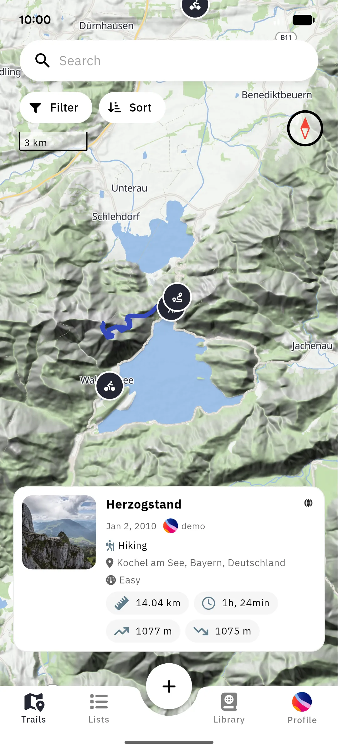
Section titled “Finding your way around”The app is organized into four tabs plus a central action button:
- Trails: the map: browse, search, and filter trails (Find trails)
- Lists: your trail collections (Lists)
- Plus button (center): create a new trail: plan, record, or import (Record a trail)
- Library: trails stored on this device: downloads, and anything you created that hasn’t uploaded yet (Offline use)
- Profile: your profile, followers, and settings (Profile)
A few words you’ll meet
Section titled “A few words you’ll meet”- Instance: a wanderer server. Your account, trails and lists live on one instance; instances can talk to each other, so you may see users from other instances.
- Trail: a route with a name, description, photos and stats. Trails are what you record, plan, download and navigate.
- Waypoint: a point of interest along a trail: a viewpoint, a hut, a junction. Waypoints belong to a trail.
- Anchor: a point you set while planning a route. The planner connects anchors along paths; they are not waypoints.
- Region: a downloadable piece of the map (a country or a part of one) for offline use.